Open Source Mapping Workflow
This quarter some students and professors got together to reinvent/recreate/re-instigate Cartography at UC Davis. While this isn’t my first Cartography course it’s been a bit more realistic in terms of applying the ideas to making maps.
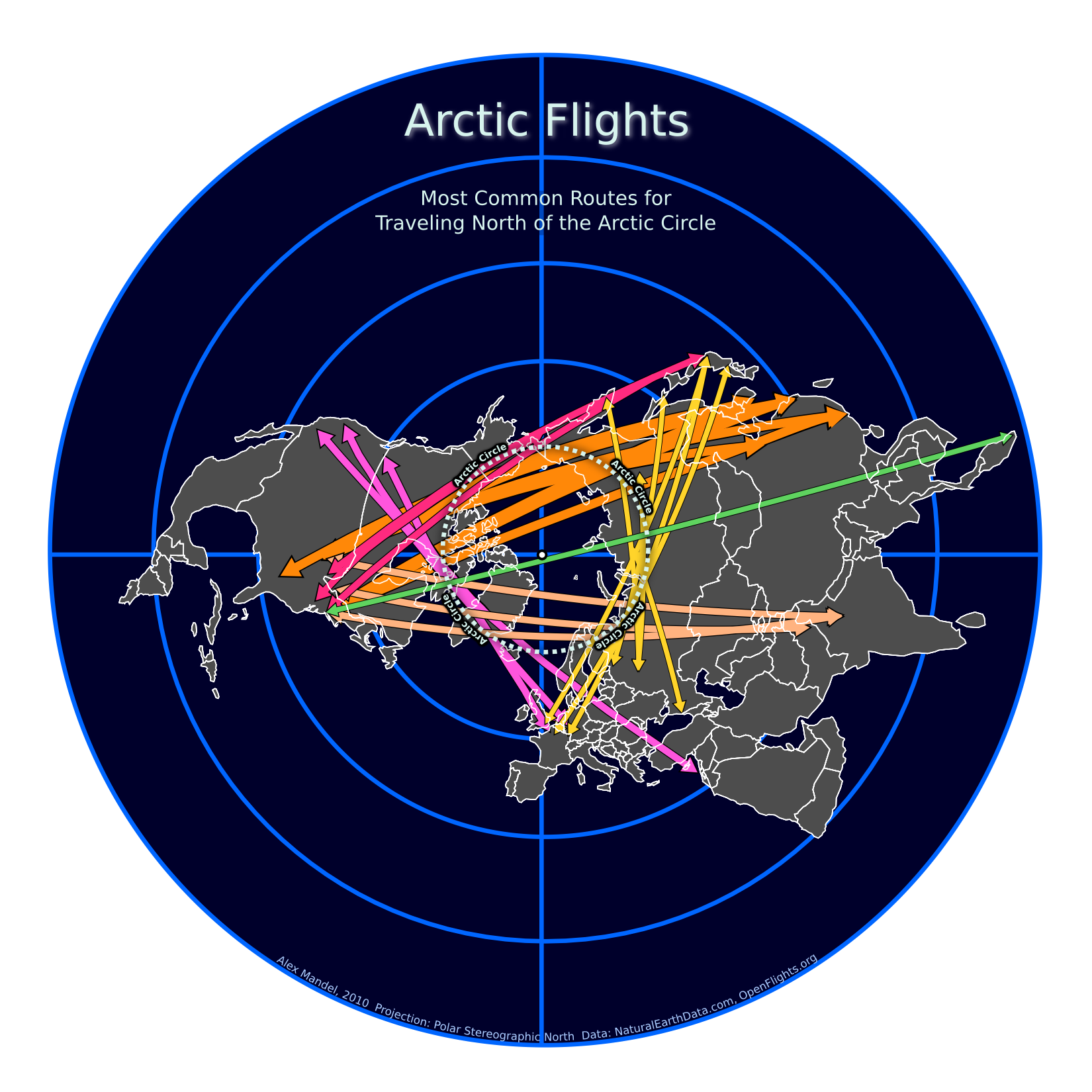
Below is an example of mine, showing the possibilities of an Open Source cartographic workflow. I used Spatialite to crunch the data, QGIS to prep and Inkscape to Polish.
It’s a semi-ficticous map showing major air routes that cross the Arctic Circle using data from http://OpenFlights.org and a background map from http://NaturalEarthData.com
I’ll link to the full pdf later. Creative Commons license in the footer applies.